The Adventure Begins

At the Southern Terminus April 26, 2003
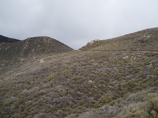
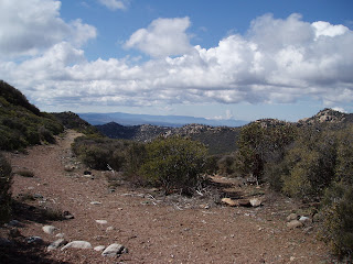
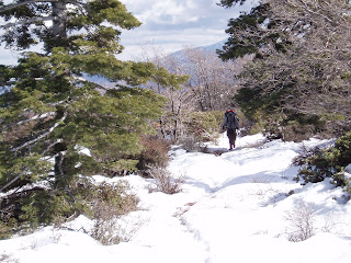
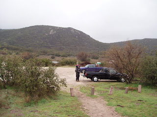
As you can see, I began my walk with my son's Boy Scout Troop. We did the first 20 miles to Lake Morena in two day hikes. The second day hike, from "The Windmill" (mile 10) to the lake, our group was significantly less. When I hiked north from Morena, I we were down to just me, my good friend Bill (The guy in the boonie hat in the back of the photo above), and my brother-in-law and best friend, Dave. I returned to the border in 2007 for the ADZPCTKO and re-hiked the first 20 solo. I'll try not to editorialize too much on this blog, as my intent is to provide viual references for the PCT as much as I can. If you want higher resolution versions of these files, please feel free to ask! I also have many, many more photos. Any info requested of me will be happily provided!
Photos in NOBO mileage order. With the exception of the next few photos, taken during my re-hike of the first 20, these are also in chronological order. I am not a Thru Hiker, nor a Section Hiker since I hike the PCT mostly in weekends that come available to me.
I hope these are of use to those who walk after my footsteps.
Enjoy!
-Oilcan

At the Southern Ternimus ADZPCTKO 2007

I helped "Lawrence The Spring Guy" erect the "1 Mile Marker"

The first PCT shelter! (TIC) Just off the road to the Terminus.

PCT Junction at Highway 94

PCT junction at train tracks just north of Highway 94


Looking back toward train tracks and Highway 94

Star Ranch

Mile 9 - Dirt Road Junction to "The Windmill"
"The Windmill" is a cattle pond. There's a trough and pond that's fed by the well pumped by the windmill. On this hike, during a very dry season, there was water in the trough (mucky- but filterable), water deep in the well (Too far to reach, but if you had a rope and bottle...) and the pond was bone dry. When I first saw the windmill, back in April `03, water was gushing from the loose fittings of the pump line. Do yourself a favor and pack enough water to get to Morena.


North edge of Hauser Canyon
 Bottom of Hauser Canyon with "Oscar the Illegal Immigrant"
I was at Hauser during ADZPCTKO `07 with the guy who needed to be heli-lifted out due to heat exhaustion (It was freakin' hot that day). When I climbed to the top of the north edge of the canyon, I enjoyed the sunset and saw the helicopter buzz through the canyon.
 Climbing out of Hauser looking south over the canyon.

Sunset over Hauser Canyon
Since it was so hot that day, I waited until the evening to climb out of Hauser. I was rewarded with this sunset. I walked the final 4 miles to Morena under a full moon and I could hear the evening festivities at the park 2 miles out! I strolled into the Park around 8:30 just after the slide show ended. Had me an oilcan and crashed.
 Mileage to Saddle Junction
 Cool PCT sign for The Desert Divide
 Back of Garner Valley

 Cattle Gate just before trail to Live Oak Spring
 Canyon down to Live Oak Spring
 The Spring
 Tradition!
 Campsites at Live Oak Spring
 Mmmmmmm....Breakfast Burritos!
 Junction PCT/Trail to Live Oak Spring
 Palm Springs in the distance
 Lake Hemet in the distance
 First low peaks of The Desert Divide

 Fobes Saddle
 No idea WHY this sign was posted- it's just before Fobes Saddle and there's NO other trail around!
 Fobes Saddle
 Trailhead to Fobes Saddle
 It's a STEEP 1-1/2 miles to the PCT!


 Nearing Alpine!

 Mount Laguna


