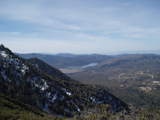
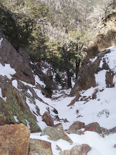
 Just below the Saddle
 Trail Ratz Chairs and Water Cache
 PCT looking north toward Spitler Peak
 Pano looking south down onto Fobes Saddle
 San Jacinto Wilderness Boundary
Palm Springs and Coachella Valley to the east

 I wonder what this sign once was...
East side snow

 Ranch below and just west of The Trail
 Run out trail to the west (not on any map I've seen)
This is NOT the trail to Apache Spring!


 The tail down to Apache Spring
Walkin' the edge!
 Looking south back along the Desert Divide
 I was following these footprints all the way to Saddle Junction. They looked maybe a few days old at the most.
 Antsel Rock
STEEP chutes!

Antsel Rock (looking south)

I was warned that it required crampons/axe and three-man roped technique to cross when ice and snow is present. The chutes just off the trail are crazy-steep. A fall would result in a sliding free fall through rocks, stumps and trees. I was prepared to turn around if it was icy since I was doing this solo, but this is all the snow that was on the trail. I carefully stepped across and continued on my way.


 The "Trail through the rock" from just a little ways north


